Near: Weaverville
Distance: 10 miles
Elevation: 4,000 - 6,000 ft
Vegetation: Pine Forest
Last Visit: 5/29/16
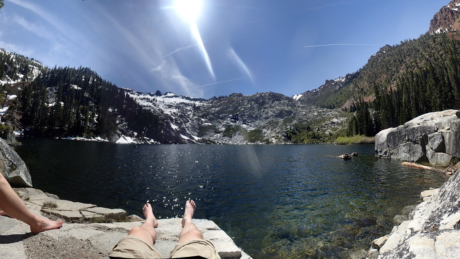
Granite Lake was my favorite alpine lake out of the half dozen we visited in the Trinity Alps over the Memorial Day weekend. At 10 miles round trip, with 2,000 feet of elevation gain, the trip to Granite Lake it makes for a meaty day hike or moderate backpacking destination. The trip has fewer vistas than the nearby Canyon Creek Lakes hike, as it's deeper in a thickly treed valley, but it also climbs along a cascading creek with several scenic waterfalls that go almost unnoticed in the Trinities, but would be notable attractions themselves in the Sierras.
Rules
This hike is in the Trinity Alps Wilderness, part of the Shasta-Trinity national forest. Wilderness permits are required for overnight camping, but there is no entry quota as of this writing in winter 2019. No permits are required for day hikers. Bear canisters are recommended for campers but not explicitly required. Dogs are OK off leash under effective voice control.Trailhead
The trailhead is at the end of a long dirt road (Forest Road 36N25) climbing up the Swift Creek valley from Trinity Center. There is a sign on Rt 3 for the road listing the Swift Creek and Lake Eleanor trailheads. The road is not entirely mapped on google maps, but after the signed intersection where the roads to Swift Creek and Lake Eleanor split, it's basically straight ahead on the main road. The Prius made the trip just fine, with the occasional slow maneuver to keep from bottoming out at a rough patch, so it was perfectly doable for a typical low clearance passenger car. The trailhead is surprisingly large given the road up, with room for a couple dozen cars and a vault toilet too. The parking area was just about full up when we got there.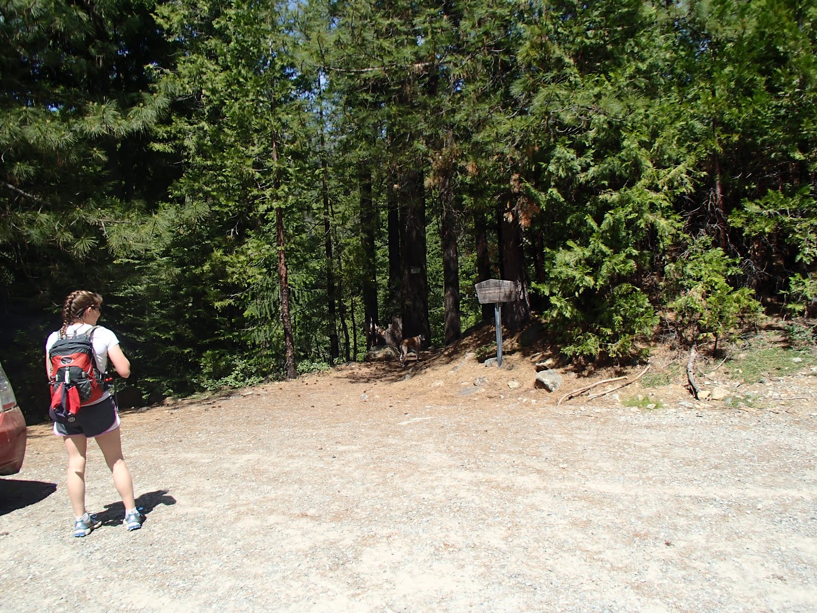
Route
Caltopo Map: http://caltopo.com/m/B11M


The trail descends from the parking area to Swift Creek and immediately climbs up the valley just above the creek. Within a mile the trail passes above a rocky overlook into an impressive gorge.

About a mile in, the trail splits at a signed junction. We went left to head up Granite Creek to Granite Lake, staying right continues up the Swift Creek towards Horseshoe Lake.

No tricky stream crossings here. A robust footbridge crosses the Swift River

Ascending up Granite Creek affords views of a few more waterfalls.


The upper half of the Granite Creek valley becomes progressively more open with some shrubby meadows before opening up at tranquil Gibson Meadow.


Above Gibson Meadow, there's a brief final climb, before reaching Granite Lake. Just as you hit the lake, the trail continues up the valley to the north of the Lake. We continued up this trail for a while, but you never get a great access point to the lake, it just climbs up and away. For the best lake-side picnic spot, leave the trail here at the west end of the lake, cross Granite Creek on the large downed tree, and scramble up onto the rocks on the lakes western shore.


The east side of the lake is ringed with high granite cliffs that looked like they'd make a great overlook, but as we climbed up the trail it started to disappear into remnants of old avalanches and meltwater streams. We decided we were a week too early for this section and went back down to enjoy the lake.

No comments:
Post a Comment