Wednesday, June 29, 2016

Woodchuck Basin to Weaver Ridge

Near: Arnold/Lake Alpine
Trip Type: Hike
Distance: 7.5 miles
Elevation: 7,800 - 9,100 ft
Surface: Dirt and loose volcanic gravel
Vegetation: Pine forest to moonscape
Last Trip: 6/11/16


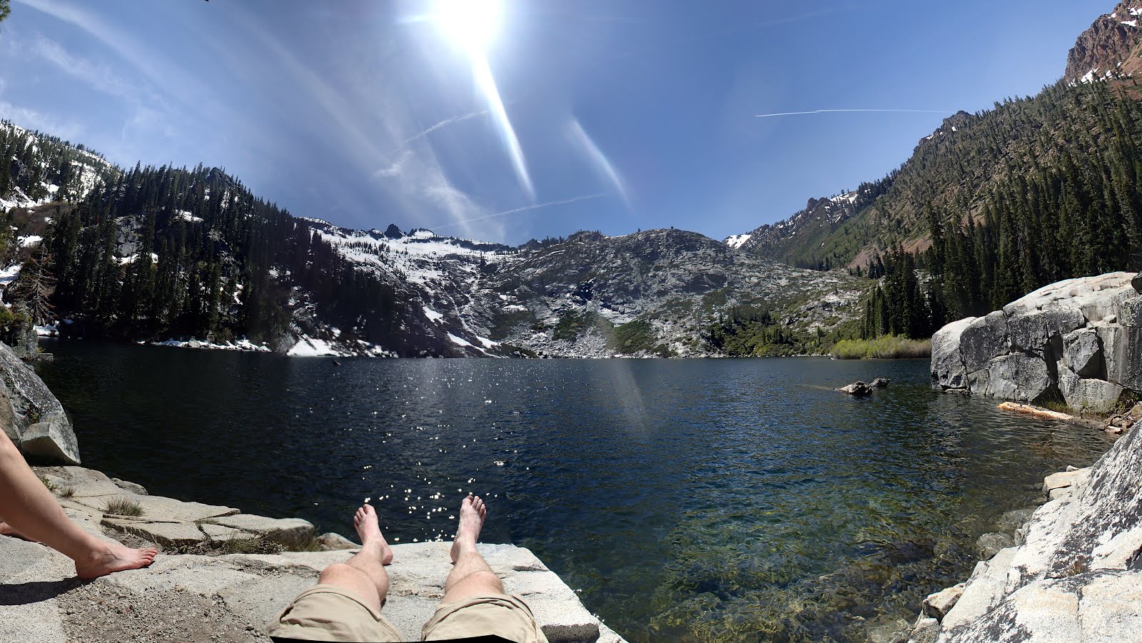
As the higher elevations started to open up for the summer, we went looking for hike with a lot of southern exposure.  Wheeler ridge, runs east-west to the north of California highway 4, just east of Lake Alpine. And makes for a great early season peak.  The trail winds gently up Woodchuck Basin through pine forest that gradually thins to a mostly open slope, then a completely open ridge with very little vegetation.   The trail proper heads over the ridge and down a thousand feet to Wheeler Lake, but we struck east on the ridge, to a rocky high point where a little light scrambling brought us to a great perch with 360 degree views of the Mokelumne Wilderness to the north, the Pacific Crest to the East and Lake Alpine to the southwest.  As a bonus, Lake Alpine makes for a great place to take a dip before the drive home.


Tuesday, June 21, 2016

Boulder Lake and Little Boulder Lake

Near: Weaverville
Distance: 3.5 - 6.5 miles
Elevation: 5,800 - 6,400 ft
Surface: Dirt and Snow
Vegetation: Pine Forest

Last visit: 5/30/16


Boulder Lake and Little Boulder Lake are yet more scenic alpine lakes in the Trinity Alps.  They're less spectacular than some other lakes in the Trinities, but they're a great choice if you're looking for scenic lake with only modest effort to get there.  I liked Little Boulder Lake a bit more as Boulder lake was shallow and surprisingly muddy given it's name.  There was still melt water flowing into it... but Little Boulder Lake looked like a great place for a swim in a month or two... Both lakes are in the shadow of rocky minor peaks.  We scrambled up on the slopes of the one overlooking Boulder Lake (called Tapie peak, I'm told, though it wasn't labeled on our map), following an off-trail route we found on another blog, and were rewarded with views of nearby Tapie Lake and Mt. Shasta off to the north.


Wednesday, June 8, 2016

Granite Lake

Near: Weaverville
Distance: 10 miles
Elevation: 4,000 -  6,000 ft
Vegetation: Pine Forest
Last Visit: 5/29/16


Granite Lake was my favorite alpine lake out of the half dozen we visited in the Trinity Alps over the Memorial Day weekend.  At 10 miles round trip, with 2,000 feet of elevation gain, the trip to Granite Lake it makes for a meaty day hike or moderate backpacking destination.  The trip has fewer vistas than the nearby Canyon Creek Lakes hike, as it's deeper in a thickly treed valley, but it also climbs along a cascading creek with several scenic waterfalls that go almost unnoticed in the Trinities, but would be notable attractions themselves in the Sierras.


Sunday, June 5, 2016

Canyon Creek Lakes

Near: Weaverville
Trip Type: Day Hike
Distance: 18 miles
Elevation: 3,100 - 5,800 ft
Vegetation: Pine Forest
Last Visit: 6/5/2016


After a long Memorial Day weekend in the Trinity Alps, they've cemented their place as my favorite place in California.  Yosemite is more draw dropping, but of course you can't hike with your dog there.  The valleys in the Trinities are lower, and rain more plentiful, yielding a healthier, more vibrant ecology swimming with alpine lakes and streams.  Canyon Creek Lakes are the headliner hikes for the Trinities for good reason.  The trail is a straight shot up the a dramatic canyon with peaks towering 4,000 feet above you at points.  The canyon is dotted with more than a half dozen scenic waterfalls and ends in two fantastic alpine lakes.

The only real negative about this hike is its over-popularity for backpacking.  There are no entry quotas in place in the Trinity Alps Wilderness, so very popular routes like this one get overcrowded on holiday weekends.  When we visited many backpacking groups were camping too close to the trail and stream and acting a bit passive agressive on the trail trying to send out their fastest hikers to claim choice campsites.  Maybe it's best if things are kept this way on this trail, though, because seeing it stopped me complaining about entry quotas elsewhere.

At 18 miles round trip, a day hike to the upper lake is long, but very doable for avid hikers.  There's nearly 3,000 feet of elevation gain, but it's a steady ascent with very little back-climbing.  The trail is mostly very easy to follow so you can make good time.  We made the round trip in 7 hours.  If that still sounds like a bit of a death march to you, then you should still consider heading up the trail for a shorter hike.  Starting about 3 miles in, there are sweeping views and waterfalls aplenty at regular intervals all the way up the valley.  Even without making the lakes, it's still a great hike.

Wednesday, June 1, 2016

Loch Leven Lakes.

Trip Type: Hike
Near: Cisco Grove
Distance: 7 miles
Elevation: 5800 - 6800 ft
Vegetation: Pine Forest
Last Hike: May 2018


Lock Leven Lakes are a series of Alpine Lakes on the western slopes of the Sierra just west of the Sugar Bowl ski area.  The modest climb required to reach them and their ease of access from I-80 make them a very popular destination, particularly in the spring and fall when snow is more of problem at higher elevations.  The hike is mostly so-so at first, with some nice open granite sections, but the ambiance isn't great with road noise from I-80 for the first mile or two.  But when you top out at the lakes it suddenly turns idyllic and beautiful. Note that while this is not a physically difficult hike, there the trail can be a bit hard to follow at few points, even though it's relatively heavily trafficked for the area.  Getting to Upper Loch Leven Lake can be particularly challenging since the route shown on many maps is wrong.