Near: Sierra City
Length: 7 miles
Elevation: 6,200 - 8,600 feet
Vegetation: Pine Forest
Last Visit: 11/05/2016

The Sierra Buttes are a dramatic cluster of volcanic spires at the northern edge of the Tahoe National Forest. Somewhat off the beaten path of the Lake Tahoe and High Sierra around Yosemite to the south, the Sierra Buttes are one of the most under rates spots on the Pacific Crest. An old forest service fire lookout sits at the summit, 4,000 feet above Sierra City and the Yuba River to the south and over 2,500 feet above the Sardine Lakes to the northeast with excellent views in all directions. There are a few options for climbing the summit, including a long climb up the south and west face from Sierra City along the PCT, and a few options converging on the north ridge. In the summer a 5 mile round trip is possible from Butcher Ranch Road above Packer Lake Saddle. We opted for a 7 mile route from near Packer Lake north east of the summit and passing Tamarack Lakes en route to the north ridge.
Rules
As far as I can tell, no permits are required for hiking or backpacking within the Tahoe National Forest, but a permit is required for any campfire outside of a developed campground. Along the roads near this hike, camping is restricted to developed campgrounds. Dogs are allowed off leash if they are under voice control. Portions of this hike are on forest roads open to ATVs, so you may want keep your dog on a leash on those sections for safety if there's significant ATV traffic. When we hiked this trail with some light fall snow, we only saw two ATVs on the first mile or so of trail.
Trailhead
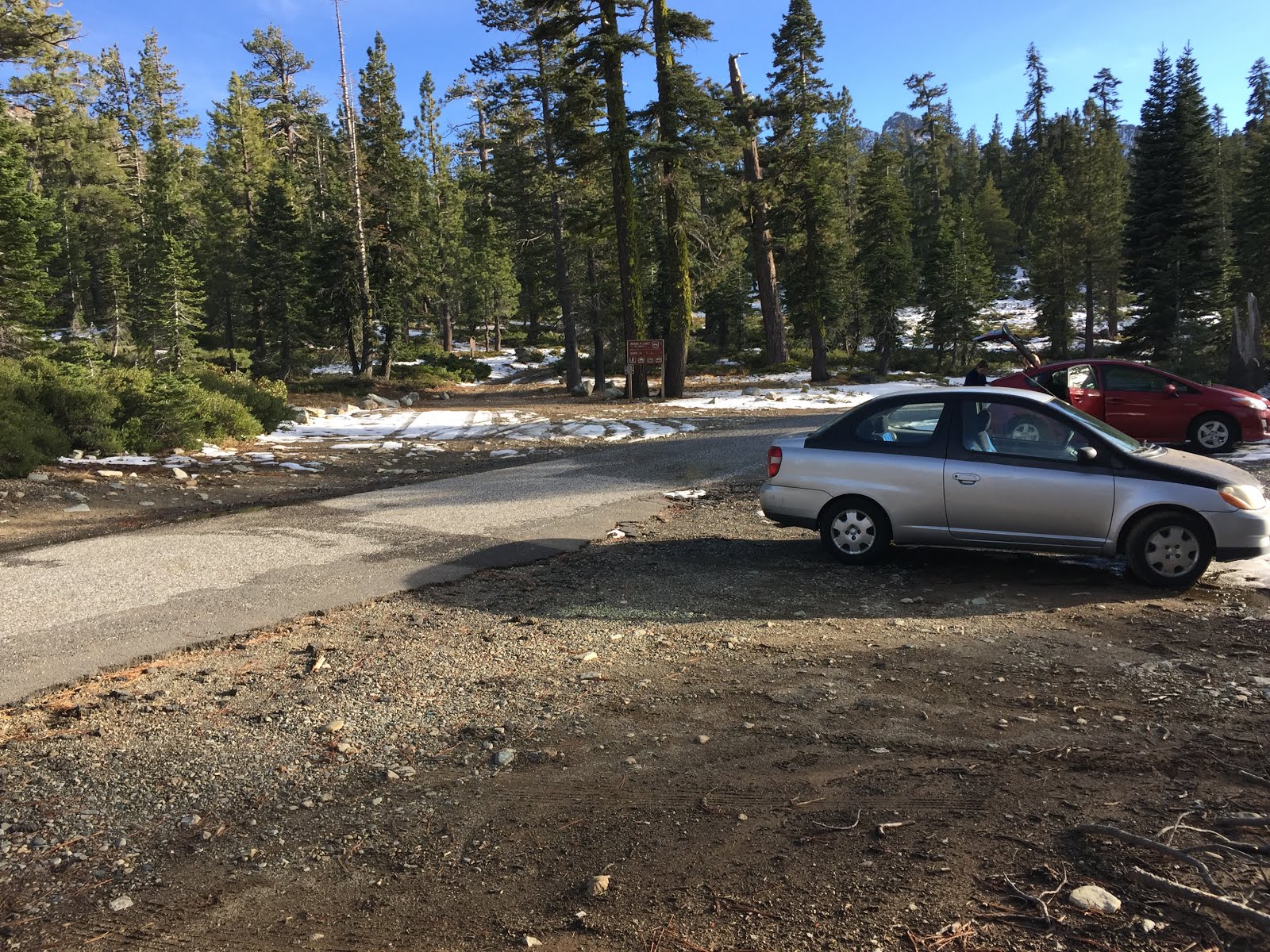
We started at a small pullout on Packer Lake Road (route 621), just past the turnoff for Packer Lake and the Packer Lake Lodge. It's a narrow windy road up, but paved and in pretty good shape. The road is not maintained in winter, though. It might make a nice cross-country ski in winter, if there aren't too many snowmobiles. If you've got a long summer day for the hike, you might try starting at the Sardine campground and taking the Tamarack connector trail up to the Tamarack lakes. That would add another 4 miles or so, and a few hundred more feet of climbing, but the trail above the Sardine Lakes looks quite scenic from the summit.

Route
Caltopo Map:
https://caltopo.com/m/09D3
 |
| Profile for three routes up Sierra Buttes. On this trip we took the middle (orange) route |
 |
| Topographic map of three routes up Sierra Buttes. We took the middle (orange) route. |
This hike follows a very steady ascent up an ATV trail, then a dedicated hiking path to the ridge north of the summit. The route is not well marked, but the trail was fairly obvious, even under some light snow. In deeper, drifting snow, the trail from Tamarack lakes to the ridge might be hard to follow. The ATV trail follows a creek up to lower Tamarack Lake, running into the Tamarack connector trail at a poorly marked intersection, just below the lake. Follow the wide trail around the northwest side of the lake, and you'll find a marked trailhead for the hiking trail proper. This trail marches steadily up the hill for a mile or so, crossing an old road, then making a couple switchbacks just below the ridge where it joins the PCT. Turn left on the ridge and continue climbing for a half mile or so to a false summit. From here to the summit, the true trail was hard for us to discern in the snow, but the meandering footprints got us there. Along this section if you hang to the left of the ridge slightly, you'll be treated to great views over Young America Lake and the north cliffs of the summit spires. Finally the trail meets up with a parking lot for the 4WD trail leading up the west side of the mountain and a wide trail switchbacks up to the stairs to the summit tower.
 |
| Lower Tamarack Lake |
 |
| The start of the proper hiking trail past Tamarack Lake |
 |
| The cliffs below the summit from the north ridge |
 |
| The summit lookout tower |
 |
| Summit sign |
 |
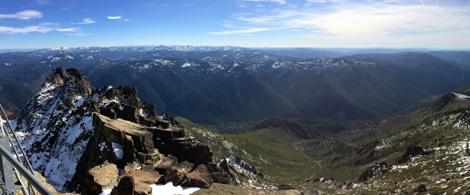
| The view over the Sardine Lakes from the summit |
 |
| Enjoying some snacks on the rocks at the summit |
 |
| Looking north from the summit. The snows on Mt Lassen, over 70 miles to the north, are just visible on the horizon. |


No comments:
Post a Comment