Near: Fort Bragg
Trip Type: Backpack
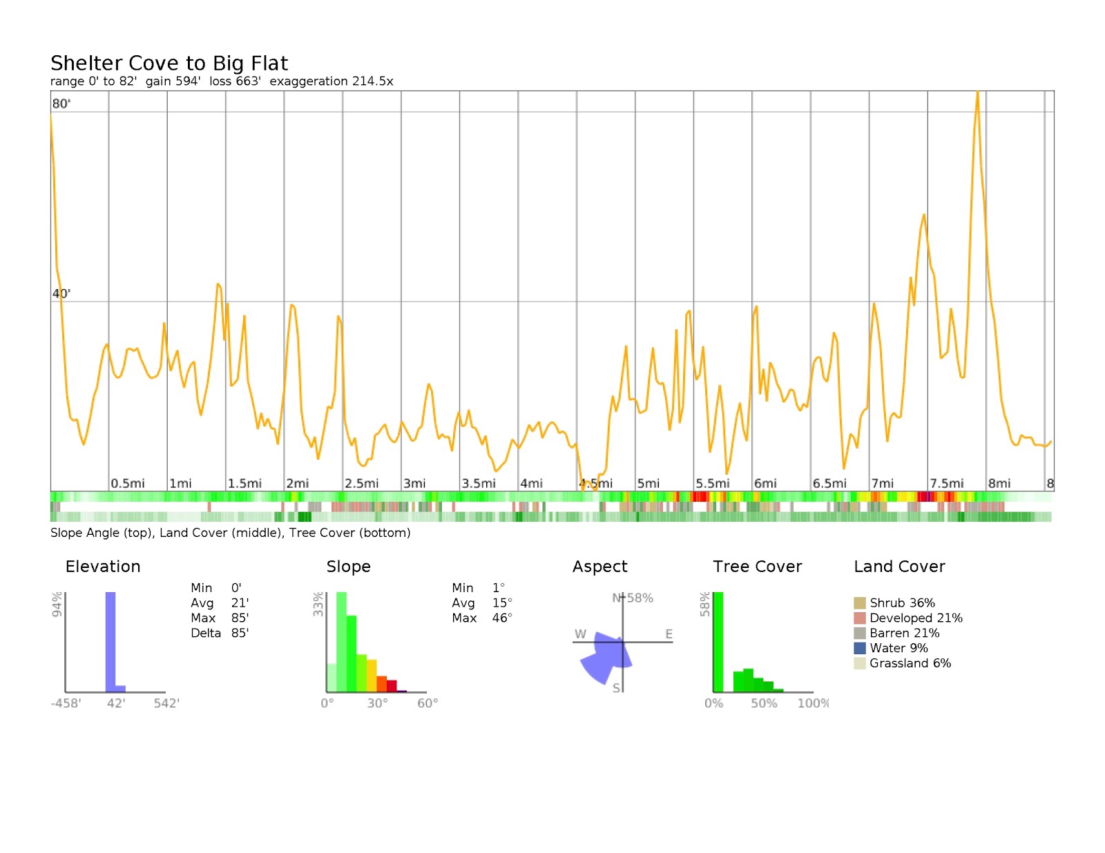
Elevation: 0 - 10ft (to Miller Flat) 10 - 3500 ft (to King Range)
Distance: 8.5 miles (day 1), 11 miles (day 2), 28 miles total
Vegetation: Beach, forest, coastal scrub, grassy meadows
Last Visit: July 2014
 |
| We started from Black Sands Beach near Shelter Cove. Be sure to arrive early. Parking is limited at the trailhead and it fills up quickly. We just barely got the last spot... |
The Lost Coast is the longest stretch of California coast without any development. Thanks to the steep slopes of the King Range, the highway engineers weren't able to ruin it. The steep cliffs may have saved the coast for us, but it they make it a little tricky to navigate. Several large sections are impassible at high tide. There are several detailed guides out there, so I won't recapitulate them here, except to say plan your hike carefully and consult a tide chart so you don't end up stuck somewhere for several hours. Know the impassible sections (usually described by the creek outlets to the north and south) and pick destinations carefully. There are only a few creek inlets that provide enough shelter to camp for the night. Also note that while the route along the beach is completely flat, it is not an easy walk. The beach alternates between coarse dark sand that doesn't provide solid footing and small worn rocks that take a lot of ankle work to navigate.
The trip is worth the work though, as it's just plain beautiful. The camping at Miller Flat/Big Flat is great too. Miles from any development, it's about as a remote a spot on the coast as you're going to find. Several improvised camping areas have been built from drift wood, making for cozy protected spots. Several other groups shared the area with us, but our sites were dispersed enough not to feel crowded. Many people hike the whole section from north to south or vice-versa, or make a loop along the beach and back over the ridge of the King Range, up to 4,000 feet above the beach. We did a 3-day out and back from the south end at Shelter Cove, camping at Miller Flat and spending our middle day hiking with light packs up Rattlesnake Ridge to the main ridgeline of the King Range, not quite making it to King Peak, the high point of the area.
Rules:
This hike is in the
King Range Conservation Area. Permits are required for overnight camping. As of 2018 there are now entry quotas in place and permits fill up well in advance for popular trailheads. Try to reserve a permit on
Recreation.gov about six months ahead of time. Permits become available 12 months ahead of entry date. I can't seem to find any information about any reserved block of walk-in permits, so best to assume the reserved permits are it. Miss the boat and you gotta go another time. Dogs are allowed under voice control on trails, but must be leashed in developed campgrounds. Bear canisters are required if camping in the wilderness.
Trailhead:
Take 101 to Garberville, then Redwood Ave west to Briceland Thorn Rd to Shelter Cove Rd. It's a long winding drive. Once you get to Shelter Cove, there is a
general store where you can pick up last minute supplies, including bear canister rentals. Park at the Black Sands Beach trailhead on Beach Drive. Try to get there early as the lot fills up on summer weekends.
Route:
 |
| There is a LOT of fun driftwood on this beach. |
 |
| Looking south towards Shelter Cove. The beach alternates between energy-sucking sand and ankle-breaking fist-sized rocks rounded by the waves. If it wasn't so awesome, it would be awful. |
 |
| Know your dog's feet before attempting this hike. Between the course dark (hot in the sun) sand and all the rock it can be pretty hard on their paws. Presto got some booties halfway through. |
 |
| Chilling at the campsite. The sand was slow to walk on, but comfy to sleep on. |
 |
| Presto was the biggest fan of the campsite. |
 |
| Sunset at Miller Flat. We really scored in the weather department. I get the impression that fog and drizzle are the more common experience. |
 |
| The trail heading up to Rattlesnake ridge is easy to follow at first. |
 |
| For the first two miles, the trail follows the bottom of a valley into deeper and deeper woods along an idyllic creek. Some early stream crossings are a bit confusing. After a while it settles into a clear trail, though. After the first mile we had no trouble finding our way. |
 |
| The third mile is a steady climb up a progressively more open hillside. It doesn't match anything I've seen on any map, but again, easy to follow. |
 |
| Up on Rattlesnake Ridge, the trees shrink to stunted manzanitas and the views really open up. The exposure makes for a hot sun-baked ridge on a clear summer's day. Bring water. It's dry up here. |
 |
| Looking back on Rattlesnake Ridge from the main crest of the King Range. A small peak on the ridge was as far as we were up for, but if one were really ambitious they could continue to King Peak, making about a 15 mile round trip with 4,000 feet of climb. Not too shabby. |
 |
| As we returned down the ridge to valley floor below, we found a gem of a spot on Big Flat Creek and cooled off in the shade for a bit. |
 |
| Heading back south along Miller flat. |
 |
| On this trip we saw starfish, seals, otters, 4-foot tall pelicans, and some deer. So a pretty good showing in the wildlife department. |
 |
| These large rocks mark the north end of Black Sands Beach and our return to Shelter Cove. |


No comments:
Post a Comment